A Casualty of My Atrial Fibrillation: My Single Speed Cross Bike

I miss my Bianchi San Jose.

It’s true that a person could easily get by with one bike – most people in the world do just that. If I only was going to have one bike it’d be a nice mountain bike – because it could be ridden in all conditions, four seasons, on or off road, and it’s usually a comfortable ride.

But I’m a typical middle aged (employed) male cyclist – I have three bikes – a mountain bike, a road bike, and a cross bike.

Okay – I‘ll admit it – I actually have four bikes. My fourth bike is my “legacy” bike – the first fine bike I ever owned that I had to  save up for about a year as a poor graduate student – my 1981 Trek 930 Sport Touring road bike with the Columbus tubing and the mix of Campy and Sun-tour components. I haven’t ridden it in nearly twenty years but I just can’t part with it – we had so many incredible road rides back in the eighties! My old bike is actually featured on the Vintage Trek website.

Alright – full disclosure – I still have the frame and (non-suspension) fork from my 1990 Fischer Supercaliber – still my favorite mountain bike of the several I’ve owned for the past thirty years.

But out of the three bikes I actually ride the most frequently ridden is my full suspension cross country 29er mountain bike – a real beast built for the clydesdale that I am.

I also have a carbon Giant Defy (their knock off of the Specialized Roubaix) that I bought as a retired rental fleet bike from the local bike shop. Yes – I know that you’re never supposed to buy a used, god forbid a former rental fleet carbon framed bike – but the extra large sizes are so infrequently rented that it had very few miles on it.

But my Bianchi San Jose is the one that was a casualty of my atrial fibrillation (AF). A single speed cross bike – perfect for cruising on our local Rails to Trails (OC&E and Woods Line State Trail) geared perfectly for the relatively flat trail (Trains can only handle so much steepness – no more that a 2% grade) and because it was a cross bike it was ideal for the nine miles that are paved as well as the ninety unpaved miles. Although it’s a single speed it had brakes – it wasn’t quite a hipster messenger fixy. I think those things are nuts – especially now that I’m anti-coagulated.

If you’ve never ridden a single speed – give one a try – a very smooth and quiet ride. My San Jose was a little tricked out. I upgraded the tires to a more aggressive set, and I had a beautiful Brooks Saddle (which I kept) and some matching but really over-priced Brooks leather handle bar tape. That bike just had a terrific look and feel – the most comfortable bike I’ve ever had. I could ride in the drop position for a long time without getting sore.

But regrettably as my AF got worse and the medications were going up to higher dosages (Thanks, Carvedilol!) I could no longer ride it up to the hill to our house. It isn’t the biggest or steepest hill in the neighborhood (we live in the mountains, after all) but it is about a 250 foot climb in about three quarters of a mile (75 meters in 1.2 kilometers). It never was an easy climb on the single speed, but currently it is impossible for me.

To be honest I never was a good single speed cyclist. I’ve always had a fast cadence and used a lower gear, and I tend to shift constantly maintaining an even power output. I’ve ridden with guys who just stay in the higher gears and grind – not my style. It was always a challenge getting up that hill in the single 42/17 gear.

I considered getting an after market three speed hub for the back but that would be too dorky. I  still rode it on the bike trail but I’d have to drive to the trailhead schlepping the bike on my truck’s bike rack. Eventually I traded it in at the bike shop when I bought my most recent bike – a Specialized AWOL – sort of a gravel grinder meets full touring bike.

I like the AWOL well enough, and ride it frequently; but compared to the light, sporty, cool looking San Jose the big, clunky, awkward looking AWOL seems more like riding around in a UPS delivery truck. Oh well – life changes as you go – I’m grateful to  still be riding.

Please feel free to share your comments.

Next Event – Vernonia Marathon Sunday, April 13, 2014

trainingOCE
Training on the OC&E near Sprague River, Oregon

I’ve signed up for a Spring marathon – specifically the Vernonia Marathon. It is in Northern Oregon – North and West of Portland – a part of the state that I have never visited. I think this might be my 18th or 19th marathon but I’m not sure.

I just did my first true long run and I feel pretty good. I informally classify runs like this: two to six miles are shorter runs, like mid-week type runs. Medium long runs are nine to twelve miles. I’ll usually try to do a nine to twelve mile run every weekend even if I’m not training for anything. In fact, if I’m not training for anything at all sometimes that’s my only run of the week (with mountain biking or hiking on other days). I think of a true long run as being fourteen miles and up. There’s something about that distance that, for me, seems pretty serious. Anything over thirteen requires more fortitude.

I didn’t just start training for an April marathon this weekend – I’ve been training for weeks – but my weekend long runs have only been eleven to twelve miles.

As far as my atrial fibrillation is concerned nothing has changed – I remain in atrial fibrillation all the time, my running has slowed, and I need to make sure I drink enough water and eat something salty afterwards. After the fourteen miler I went through the drive through at Burger King and bought each of the dogs a cheap burger from the value menu (the dogs aren’t vegan), and just an order of fries (with salt) for me. This way I avoid the dizziness I sometimes get from standing up after a long run.

mywearinessamazesme
Sophie Tired After a Long Run

The Vernonia Marathon course is on a paved bike trail. This is the first Rails to Trails project in Oregon – the OC&E Woods Line State Trail being the second. I chose it because I like to train on the OC&E and have completed the Bizz Johnson Marathon (on an un-paved rail trail) seven times.

OLYMPUS DIGITAL CAMERA
Sophie on Paved Portion of the OC&E Trail

I dislike running on pavement so hopefully there will be a dirt trail off to the side of the paved part. If not – well, a paved trail seems a lot softer because it is simply pavement on top of gravel as opposed to pavement on top of concrete (which is what our local streets are.)

I expect the Vernonia Marathon should be a small, informal, fun race and I won’t know anybody there except for my friend Claude who is also going to run it.

OLYMPUS DIGITAL CAMERA
Winter Training

My race strategy is to start out slow and then take it easy. The course profile looks hilly – but how steep can a rail trail be? Trains can’t go up more than a one or two percent grade, right? I think the hills will be gradual – like the Bizz Johnson course.

Funny – I always enjoy the training much more than the actual races.

If anybody has any experience with this event please comment below. See you there.

Oregon Outback Bike Tour and the OC&E Woods Line State Trail

(Sorry about the lack of atrial fibrillation content in this post.)

OregonOutback_900X380

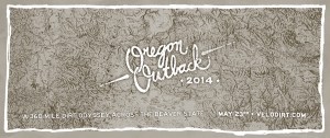
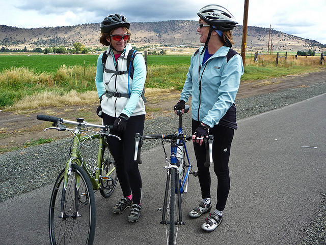
I am considering participating in the 2014 Oregon Outback bike tour. I love the concept of the Oregon Outback tour – it is a 360 mile unsupported bike tour, most of which is on remote dirt roads (and trails) in the barely populated Eastern part of Oregon (commonly referred to as Oregon’s Outback).

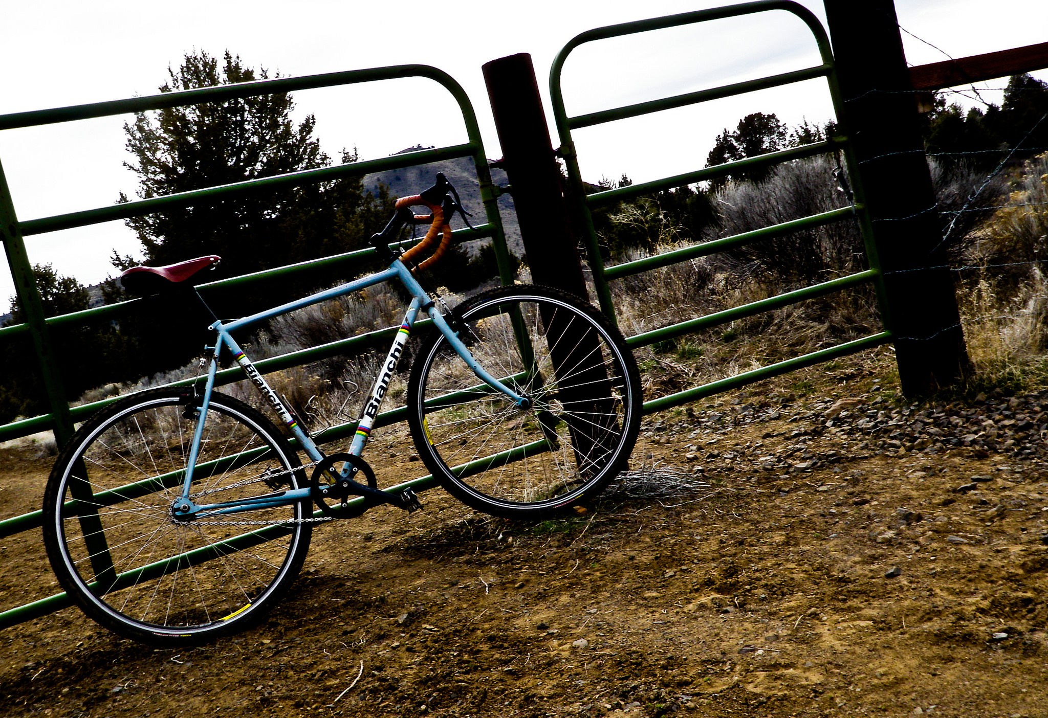
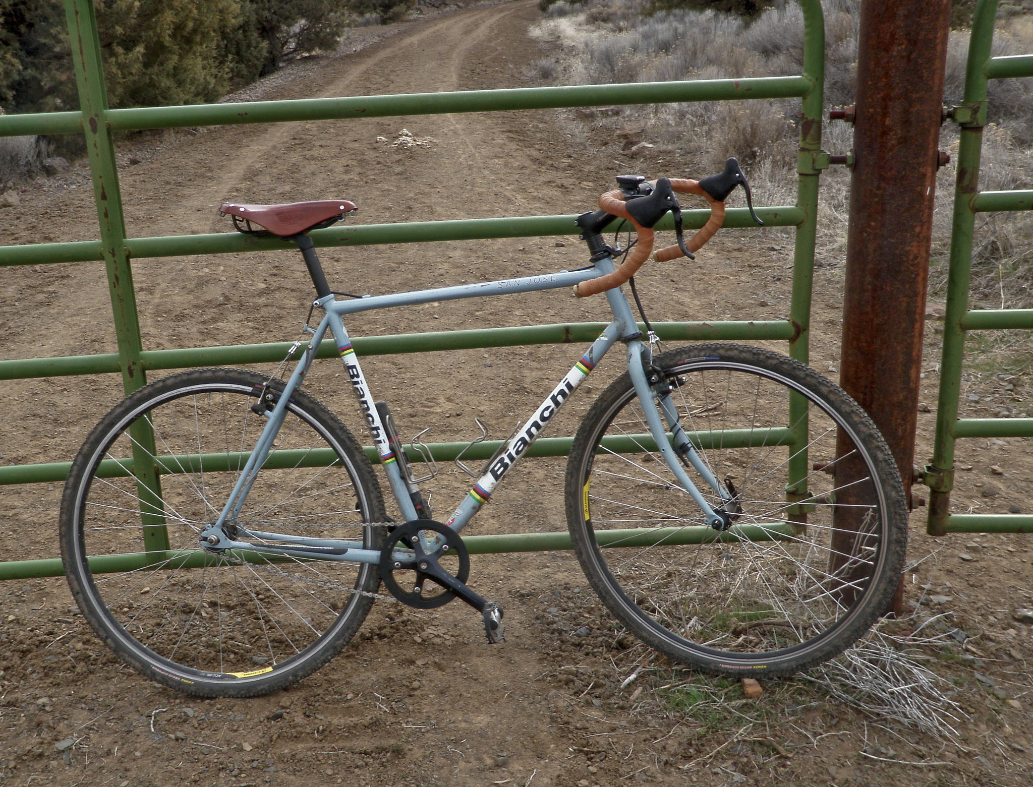
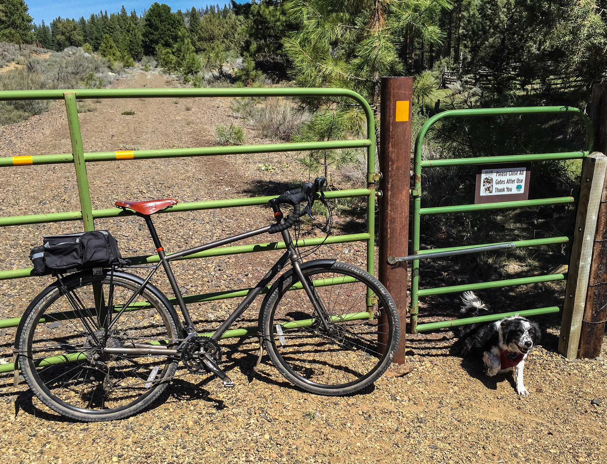
The best part is that the beginning of the ride, the first seventy five miles or so, is on the OC&E Woods Line State Trail – a 100 mile long Rails to Trails project that is a long, narrow Oregon State Park.
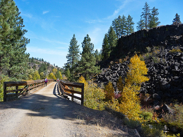
OCE1
OC&E Trail

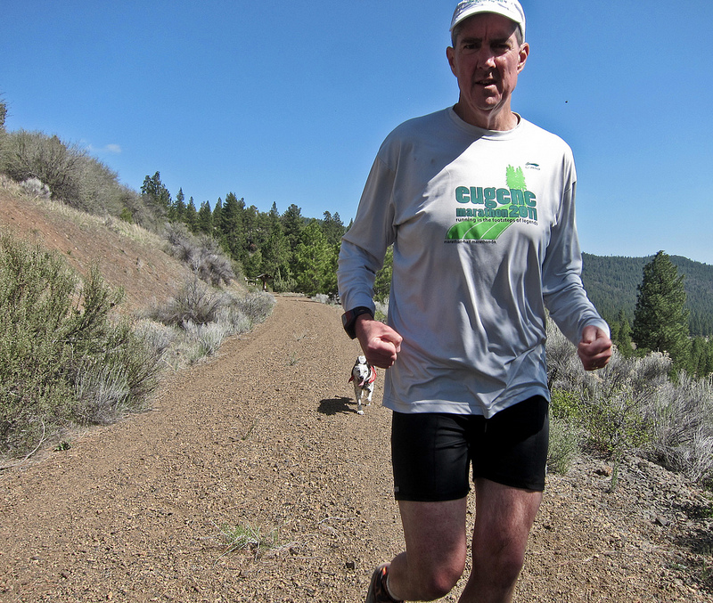
I live near and use the OC&E trail a lot and have trained for about twenty (?) marathons on it, and frequently ride bikes on it as well.

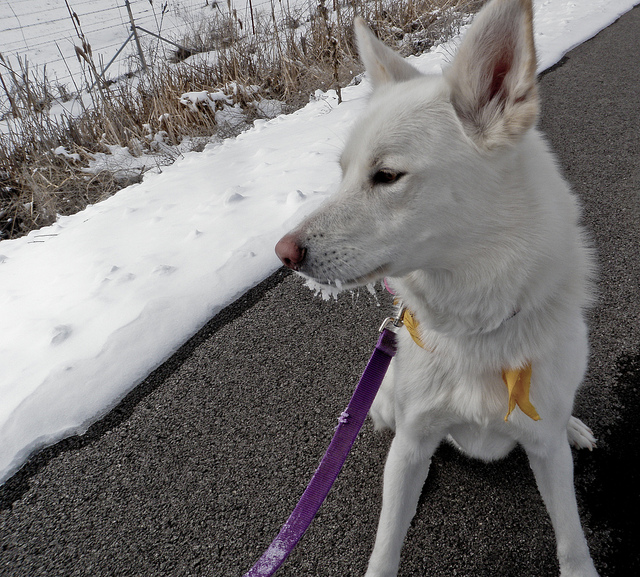
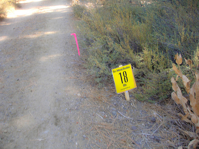
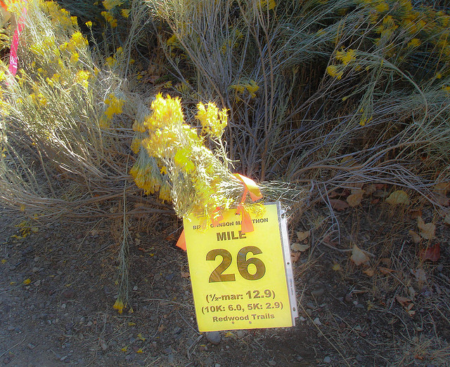
I’ve logged thousands of miles on The OC&E – not really because of the scenery, but mostly because it is nearby, the ideal surface, the mile markers every 1/2 mile, and because it is a place where I can run with my well-trained dog off leash. Plus I’m totally used to it.

I have a ton of photos in my Flickr set.

The trail was originally a logging railroad, beginning in 1917, and was used by Weyerhaeuser to transport logs and lumber from Bly, Oregon (where they once had a sawmill) and areas East of Klamath Falls to their main mill and the main railways in Klamath Falls. As everybody know the logging industry isn’t what it used to be and the railroad was shut down and “rail banked” in 1992.

I can give a little background on the development of the trail – I was part of the original group that developed the trail back in 1992. There were about nine of us that were part of an organization supporting the trail and we had plenty of opposition. Most notably there was an opposing group consisting 150 well organized adjacent land-owners that fought the establishment of the trail. They gave a number of reasons for their opposition, including a lot of concerns for privacy, and worries about potential criminal activity on the trail; but I always felt the real reason was that if the land wasn’t rail-banked the adjacent land-owner would get all the land back for free – that’s a strip of land 100 feet wide and about a hundred miles long.
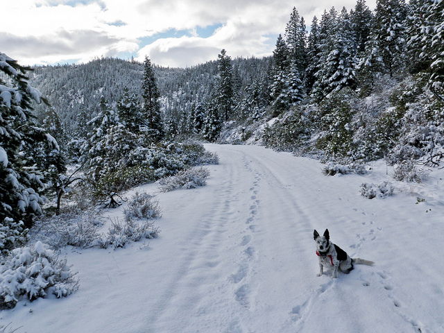
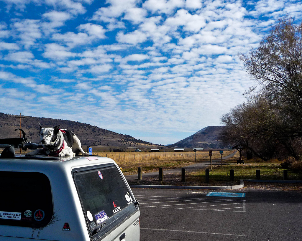
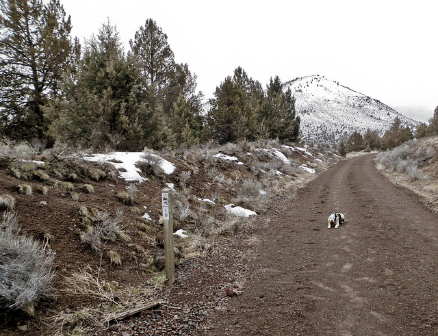
ringoroofoc&e
Ringo on the Roof

I never really thought the trail would happen. There were other groups opposing the trail including a group that wanted to leave the rails in place and build a recreational railway – train rides for tourists. We never even bothered opposing that idea because we knew that Weyerhaeuser had already sold the ties and the rails for the highest price ever to a salvage company – 4.5 million dollars (1992) and the excursion train people would have to buy them back from the salvage company. I don’t think they had anywhere near that kind of cash.

Probably the least pleasant group opposing the trail was the Nature Conservancy. They own a large portion of the Sycan Marsh where the Woods Line portion of the trail passes. This is the most remote and least used portion of the trail. The biologist’s concern was that the train tracks, which are on a raised ballast, divide the wetland into two distinct eco-systems with slightly different gene populations – certain creatures couldn’t cross from one side to the other. I never quite understood why that was a problem, but evidently it was. For some reason we thought the Nature Conservancy would be in favor of a recreational trail – after all they are a nature conservancy, and who doesn’t love nature, the great outdoors, hiking, etc. – but no – they wanted the entire rail ballast removed and NO TRAIL.

I have never actually been on the Woods Line section of the trail. To this day that section of the trail isn’t used as much as the sections near town.

When I saw the photos of the tour directors of the Oregon Outback wading through the water in the Sycan Marsh I immediately understood the purpose of those breaks in the trail – that must’ve been a compromise with the Nature Conservancy. Now the little creatures can frolic and canoodle with the little creatures from the other side of the tracks – brilliant!

margo_bianchisanjose
Taking a Break

Anyway – given all the opposition to the trail I never really believed it would happen; but it turns out the trail became a reality in 1992. The way I see it the real powerful people in the world (like the railroads, the power company, telecommunication companies, etc.) liked preserving the right of way so they could rebuild railroads, or put up power lines, or communications cables, or whatever, without much problem. That’s the goal of rail banking – to preserve the right of way for projects like railroads, pipelines, telecommunications – and little community forums and debates are, I believe, just for show – big companies run the world. It makes sense – after seeing the level of opposition the adjacent landowners raised for the trail on existing right of way it would be unimaginably difficult to build, say, a pipeline through that property if they owned it – it would take years of lawsuits and expensive land purchases. One hold-out landowner could cancel an entire project. Rail banking makes it less complicated.

And in the case of rail banking outdoor enthusiasts benefit. And the community can benefit when folks like the Oregon Outback group or Cycle Oregon decide to use the trail.

I was fortunate enough to tour the trail via one of those trucks that rides on rails after the railroad was closed but before the rails and ties were salvaged. It was a wonderful day and a chance to see the entire route in one morning with a picnic lunch in Bly, Oregon to boot. Our group did a similar tour of the Woods line portion but for some reason I missed that one. I still want to get out there and see the large treacle that remains from the railway days.

jan
Jan and Her Sister-in-law

The trail has quite of variety of personalities. The first one and one half mile is unpaved (last time I was there) and passes through an industrial area, including some switching yards and some transient camps. This area is infrequently used by joggers, etc.

From the 1.5 mile marker to the 8.5 mile marker the trail is paved and first passes through a commercial area of Klamath Falls and then the “South Suburban” area. This is the most densely used portion of the trail and local people walk their dogs, roller blade, ride bikes, jog, walk – you name it. On a nice day I’ll encounter dozens of people on this section; I frequently ride my road bike on this section but generally don’t run there because I prefer to run off pavement plus I like to run with my little cow dog, Ringo, off leash.

My favorite and (personally) most frequently used sections are the section from Reeder Road (6 mile marker) to about the 13 mile marker (past Olene,Oregon) and of course the Switchback Mountain section near Sprague River, OR.

OLYMPUS DIGITAL CAMERA
Ten Mile Marker

Olene is a “town” that has about three or four houses and one store. There is a nice parking area there that I use as a headquarters for long runs (like the twenty mile runs that are part of a marathon training program). I will do a number of “out and backs” starting in Olene and use my truck as a resupply depot to refill my hydration pack after ten miles or so, and also restock things like carbohydrate gels and electrolyte supplements.

Horse riders often like to park their trailers here and start their trail rides in Olene, including people with tiny miniature horses they use to pull little carts.

OLYMPUS DIGITAL CAMERA
Little Horses

Another good starting point is the picnic area at Switchback Mountain near Sprague River, Oregon. This is a unique section of rail trail – the train would do a “double Y” switchback in order to get over the mountain – as far as I know it was the only railroad in the United States that did so. This is the only hilly section of the trail and for that reason is a great place to train if a hilly race is in my future. Plus it is adjacent to “Devil’s Garden” which as one might imagine is an area of spooky lava rock formations – a fun place to explore. Switchback Mountain is thirty-five miles from Klamath Falls so it only works as a starting point if I have enough time to drive that far.

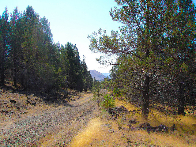
The actual quality of the trail surface is quite variable and runs the gamut from exquisitely paved to extremely overgrown and rocky. The highly used areas are generally very peasant to run on – but once the trail gets past Sprague River, Oregon there are a lot of hazards including large clunky chunks of ballast rocks, overgrown weeds and sagebrush, and of course cows.

I have been chased, once, by a young bull out there. Mostly I encounter herds of cattle that just stare and refuse to move, or else they follow me after I pass. In general they don’t mind me, but it’s my cow dog they could do without.

7721373304_aaf0a61149_c
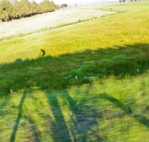
After Work Ride Near Olene

Other animals along the trail include the usual suspects for our area – jack rabbits, coyotes, badgers, deer, antelope, mountain lions, bears, turkeys – but primarily cows and horses.

A friend of mine recently ran (in sections) the entire OC&E including the Woods Line. It was an all Summer project for him. He said he met quite a few cows out there. I have ran or ridden most of the OC&E excluding the Woods Line.

I’m attracted to the Oregon Outback ride because I’m intrigued to keep going, to break past the limited area that I’ve been running and explore the entire state beyond the OC&E trail – all the way to the Washington border – wow. Sounds like a great adventure.

spraguerun

Race Report – Bizz Johnson Trail Marathon, October 13, 2013

bizzstart2013a
Runners at the starting line 2013
 
This year, October 13, 2013, was my seventh time running the Bizz Johnson Trail Marathon. My first time was in 2007 and I have ran the event every year since then. Last year I ran the 50K (31 miles), but it is pretty much the same course, just 5 miles longer.
 
Has anybody reading this blog knows I have been in persistent atrial fibrillation for the last two years. For the 50K last year, and the marathon this year, I was in known atrial fibrillation. I am pretty sure that I went into atrial fibrillation about two thirds of the way through the 2011 marathon. At least (in retrospect) it felt that way, but that was before I knew I was afflicted with this dysrhythmia.

OLYMPUS DIGITAL CAMERA
It took a long time to get to the finish line this year
 
The course of the Bizz Johnson Trail Marathon is well known to me and I enjoy it a great deal. The Bizz Johnson Trail is a rails to trails project, and is about 24 ½ miles long. For that reason the race begins with an out and back on a Forest Service fire road in order to make the marathon and official 26.2 mile run. Once the runners get on the actual rail trail the course is a gentle uphill until about the 6 mile marker at which point there is a 20 mile downhill section. This might sound like it’s easy, but remember, it’s a run not a bike ride. This is the only race where afterward I typically have a lot of quadriceps and heel pain from all the downhill.

bizz_elevation_profile_marathon_small
 
Except for the portion where the trail crosses the Susan River Canyon the grade is very gradual. Trains evidently are unable to go up or down anything that is too steep, and the average grade is below 1%, and at its steepest probably about 2%. This is an estimate, I’m really not sure of the exact grade. One thing I can say, though, is that the steepest downhill is the last 6 miles down the Susan River Canyon. This is also where the course is the most scenic (including two tunnels) and often this section is quite warm.
 
This year the deciduous trees were changing and it was quite beautiful.

bizzcoursec
Along the course (No deciduous trees here – sorry)
 
Some people worry about the elevation at Bizz Johnson, but to me that isn’t even a factor. I live and train at the exact same elevation as the Bizz Johnson Trail. As a matter of fact I do almost all my training on mountain biking and hiking trails which are much steeper and more technical than the Bizz Johnson Trail.
 
I have to admit I had a bad time this year. I don’t think it had anything to do with the atrial fibrillation per se, I think I worked myself into a bad attitude, or bad mental state this year – ruminating over certain past events on the two and a half hour drive to Susanville the day before the race. Also I had trained for the 50K, but I really didn’t feel up to it and the day before the race I switched to the regular marathon. This probably was a good move, but I felt somehow depressed over that choice.
 
I’m not sure how many marathons I have ran, but it’s somewhere between seventeen and twenty races. There comes a time in every marathon where I start to feel poorly, but usually I don’t start to feel that way until somewhere around mile twenty-two or twenty-three. For some reason at this year’s Bizz Johnson I started to feel that way about mile six. “It’s going to be a long day,” I told myself.


Ultimately I completed it, I suffered like an animal, but I lived to fight another day. It’s interesting that I finished it at almost the same time that I finished the 50K last year, that is taking into consideration that the 50K starts an hour before the regular marathon. My recollection of the 50K last year is that I felt much better, surprisingly, throughout the entire race than I have during any previous marathons. Maybe I should stick with 50Ks.
 
My friend Stephen, who ran the race this year as well, said he suffered like an animal as well, and that “it seemed like every mile hurt.” But then again he finished several hours ahead of me, came in seventh place overall, and won his age group. It was probably worth it.
 
Sometimes I wonder – am I good at marathons? Maybe. Maybe not. I’m certainly not fast. Seems like I did a good job, the night before, sitting in a motel room watching sitcoms. Maybe I’m better at something like that. Well, I guess I’ll have to keep trying marathons until I get one right.
 
bizzwasp
Finishing the 50K last year

Being a veteran trail runner who has to be self-reliant, except during a race, I carry my own water. I use an Ultimate Design WASP hydration vest, with NUUN tablets added for electrolytes. I refill it at the water stops if necessary. This year, for some reason, I figured I should probably drink some of the electrolyte drink that they offered at the water stops in addition to my own concoction. I should have known better. It was a pink drink that is evidently marketed by the Power Bar company. I have never tasted a urinal cookie before, but I imagine that this pink sports drink is pretty close. Every time I drank a Dixie cup of it at a water stop I had to walk a little bit and try to hold it down. In other words I was having a lot of nausea. Being nauseous will not prevent me from drinking because I figure I can always drink more water if I vomit, but it sure does keep me from eating, so I was a little deficient as far as carbo gels were concerned. I think I only had two all day (and had planned on five).
 
During last Sunday’s race I decided that the mile between mile marker twenty-three and mile marker twenty-four is definitely the cruelest mile. Suffering is maximized, and you’re close but not really close enough to the finish. If I tell myself, “it’s only three more miles!” I then start to think that three miles sounds like a terribly long distance.

OLYMPUS DIGITAL CAMERA
 
I enjoy listening to music on my iPod shuffle while I run and when I arrived at the last quarter mile of the race a terrific song came on my iPod. It was Oh Comely by Neutral Milk Hotel. Unfortunately I was feeling remarkably emotionally labile at that point in time that I knew that if I listened to the song I would start crying. I already knew I was suffering and wasn’t going to appear well coming across the finish line, but I really didn’t want to finish crying like a little kid – so I fast forwarded it. I clicked until I found a song that was a little bit more emotionally bland.

neautral milk
 
When the finish line mercifully appeared I was glad to be done. I strolled over to the feed section and as usual there were a lot of great things to eat, but I was feeling so nauseous – there was not one thing there that I could’ve eaten. Claude, who also ran the race that day, was waiting for me and we took the shuttle back to the parking area. I had some food in my truck for post race meal, but as soon as I walked over there I became quite sick and expelled a large quantity of pink water. It must have just sat there in my stomach – there was a lot of it! I felt much better, changed into my dry clothes, and ate my post race meal. I started to wonder – emotionally labile, tearful, and nauseous – was I pregnant? (Ha ha)

frontrunners

Next Event: Bizz Johnson 50K – October 13, 2013, Susanville, California

OLYMPUS DIGITAL CAMERA
Race Director Wendel Doman gives pre-race instructions

My next event in the Bizz Johnson 50K – October 13, 2013 in Susanville, California – although at this point I am considering bagging it and just running one of the shorter events – maybe the marathon. Bizz Johnson has something for everybody – a 10K, two half marathons, a marathon, and a 50K.

As far as trail 50Ks in the West are concerned this is probably the easiest course. Bizz Johnson is organized by Coastal Trail Runs, an organization that is headquartered in the San Francisco Bay Area, and it takes place primarily on a rail trail (Rails to Trails). That’s why the course is easy – trains are, I think, unable to go up or down any more than a one or two percent grade. Plus the trail is as wide as the railroad tracks it once was, and as smooth as a dirt road. Most 50Ks in Oregon and far Northern California are on technical single track that go up and down mountains and canyons.

bizzcourse
Along the course

This will be my seventh year running the Bizz Johnson – I’ve ran the marathon five times and the 50K just once – last year was the first year they even had a 50K. I even came in second place in my age group – but then again there were only two of us in that age group.

The entire rail trail is only about twenty-five miles so both the marathon and the 50K start with an appropriately measured “out and back” on an adjacent fire road to make the races end up being the proper distances. Last year this worked perfectly for me because the 50K started an hour before the marathon, so I ended up running into the back of the pack runners, who had just started. It was sort of like running a normal marathon . . . after going for a one hour morning jog.

bizzstart
Last Minute Preparation

The race begins with a six mile out and back (three miles up and three miles down) on a non-technical fire road; then it joins the Bizz Johnson Trail. The first couple of miles on the Bizz Johnson are uphill and then there are essentially twenty miles of gentle downhill running. The trail is smooth and a delight to run and goes through a pine forest at first with final six miles going down the Susan River canyon ending in Susanville.

There is one canyon crossing at about the twenty-five mile marker (the twenty mile marker for the marathon) that looks easy on the course map but is in reality quite brutal – probably my perception is based on the fact that this is the point where the course often becomes pretty warm (lower elevation in a deeper canyon).

Also there are two tunnels late in the race that are fun, but freak some people out – very dark and cold in the tunnels!


Sorry if I seem to be about to die – this tunnel is at 24 miles in the marathon (29 miles in the 50K)

The race is a small, well-organized point-to-point event with no expo, and bus transport from Susanville to the starting line. There are aid stations every two miles along the marathon course. For me the altitude in no problem (5600 ‘ to 4200’) because I live and train at the same altitude – some folks from sea level complain about it, however.

The cool thing, at least as far as last year was concerned, is the mile markers were all based on the marathon distance so psychologically it was easier. For example – when I pass the eighteen mile marker while running the 50K I am actually at about twenty-three miles – but psychologically it seems like I am only at eighteen. It might have something to do with my being so familiar with the course.

18mile
Twenty-three miles – but it only “seems like eighteen”

The race ends in a picnic area in a grove of tall pines and there is transport back where all the cars are parked.

The reason I am thinking about bagging it is that my training doesn’t seem as good this year as it was last year. I was in persistent atrial fibrillation last year, as I am this year – but my mileage was much higher last year. I was running fifty to sixty miles per week with one seventy-five mile week (my all time highest mileage week).

8088969997_a13aa36c8c_z
Age Group – Second Place in my first 50K – but only two runners in my age group.

This year I bonked out on my first two long runs (I’d planned on two twenties and ended up only running sixteen and thirteen – that was five and six weeks ago). Over the past three weeks I have completed three twenty or twenty-one mile trail runs in the Sky Lakes Wilderness.

The reason I bonked out on those long runs may not have anything to do with my atrial fibrillation – I think it is more related to my intolerance to heat. Both of those days were too hot, especially later in the runs. For the past few weeks I have moved my long runs to high altitude mountain trails that are actually much more technical and hilly than the course of my upcoming race – in other words much more difficult training runs than the ones I bonked on – but I am able to complete them because it is shady and cool up there. I have one more long run scheduled this weekend (twenty-four miles?) and then I start my three week taper prior to the race. It’s supposed to be cold and rainy this weekend so I will probably do fine.

twentysix
Almost Done

finish line
Finish Line

My biggest problem occurs when it is hot on race day. I should clarify that for me temperatures in the seventies qualify as hot. I think this is what I am going to do: If my last long run goes well I will go to the race and check the weather report. If it looks like it is going to be cool I will run the 50K, but if it looks like hot weather I’ll run one of the shorter events – either the marathon or the half marathon.

My Bizz Johnson Photos (from the past several years) on Flickr 143 photos and two videos (including a tunnel video)

UPDATE: My final twenty went fine – I started getting sort of tired at mile thirteen but pushed through. I reviewed my training log and discovered that I had actually ran a twenty miler the week prior to the first of my failed twenties – so I have ran a total of five twenty mile training runs (three of which were more like twenty-one milers in the Sky Lakes Wilderness). I still haven’t decided whether to run the 50K or the 26.2. I’m going to see how I do during the taper (I always cheat and run too much) and also keep an eye on the race day weather.